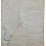
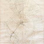
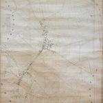
We have uploaded some of the old Parish Maps.
The 1854 map is the Warborough Tithe Map which was finalized during the 1838-1854 tithe survey following the Tithe Commutation Act of 1836
Our thanks to William Hall for photographing the original maps & to Ian Faulkner for all his work in making them interactive.
Along with the old Parish Maps of 1844, 1850 & 1854 we had added some others that may be of interest to some.
As many maps are available on line we will only add maps that cannot be accessed elsewhere.